Disaster Management Platform (SaaS)

Extreme weather events and natural disasters in Australia such as flood and fire, pose a risk to natural ecosystems, infrastructure and communities.
Disaster prone areas require smart, ubiquitous monitoring and early warning systems to mitigate impacts.
According to reports, the flood events witnessed in March 2021 resulted in an economic damage bill to the Australian tax payer of A$2.9 billion (US$2.1 billion).
Australia is densely populated along its coastline, making it crucial to develop and implement disaster management systems to reduce losses caused by natural disasters.
Qteq partnership with CT has helped them deliver live streaming situational awareness cameras, across various councils in NSW and Queensland, perform data analysis on data collected by infield sensor devices, combined with BOM system data to accurately predict flooding of roadways.
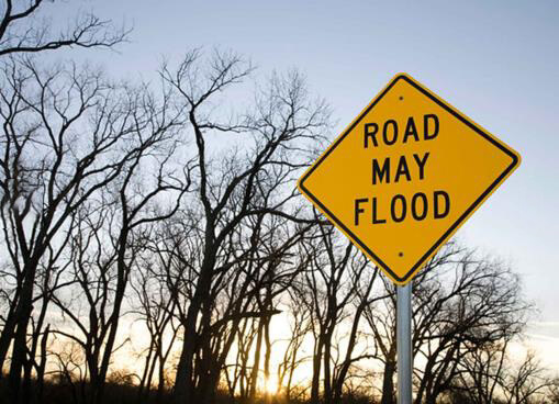
This system enables Qteq to reduce risk and damage caused by floods to local council areas, by automatically triggering flood warning sign boards based on water level data, and inform authorities before severe damage is endured.


What is a Tropical Cyclone?
Tropical cyclones are low pressure systems that form over warm water tropical waters. They typically form when the sea-surface temperature is above 26.5˚C. Tropical cyclones can continue for many days, even weeks, and may follow quite erratic patch. A cyclone will typically dissipate once it moves over land or cooler oceans, often causing significant rainfall and damaging winds.
Disaster Management Platform (SaaS)
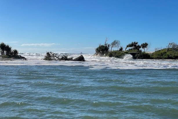
Our platform played an important role in supporting Qteq’s disaster management systems during the floods caused by cyclone Tiffany which occurred across parts of QLD.
The integrated cameras installed across the areas of Douglas Regional Council and Fraser Coast Regional Council were instrumental in picking up and providing situational awareness capabilities to detect early signs of water levels rising and alerting and supporting local authorities. The data feeds sent to the platform enabled sign board activation to warn and restrict human movement near flood prone roads.

Fig: Magnolia Road crossing on a regular day

Fig: Magnolia Road crossing during cyclone peak

Fig: Water gauge reading on a regular day

Fig: Water gauge reading during cyclone peak

