Case study · Emergency management
Qteq
A disaster management platform, delivered as a service
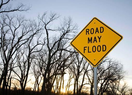
Extreme weather events and natural disasters in Australia, such as floods and fires, put natural ecosystems, infrastructure and communities at risk. Disaster-prone areas need smart, ubiquitous monitoring and early-warning systems to reduce the impact.
According to reports, the floods of March 2021 left the Australian taxpayer with an economic damage bill of A$2.9 billion (US$2.1 billion). With most Australians living along the coast, disaster management systems that reduce losses are crucial.
The platform
Qteq's sensors and cameras, on CT's engine
Qteq's disaster management platform is built on CT's IoT platform engine, which accommodates a wide range of IoT devices and provides data analysis, live-streaming camera hosting and recording, intelligent alerting and reports on data from remote field sensors.
This allowed Qteq to integrate its intelligent sensor and camera systems into CT's platform and deliver advanced situational awareness that can alert communities prone to the impacts of weather events.
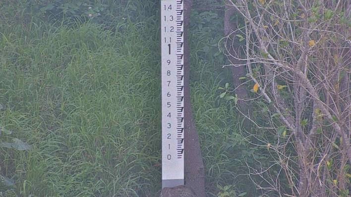
The partnership has helped Qteq deliver live-streaming situational awareness cameras across council areas in New South Wales and Queensland, and analyse data from in-field sensors, combined with Bureau of Meteorology data, to accurately predict the flooding of roadways. The system reduces flood risk and damage by automatically triggering flood warning signs based on water-level data, and informing authorities before severe damage is done.
In the field
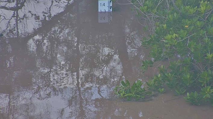
Cyclone Tiffany, seen as it happened
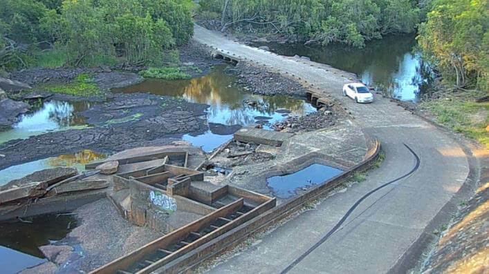
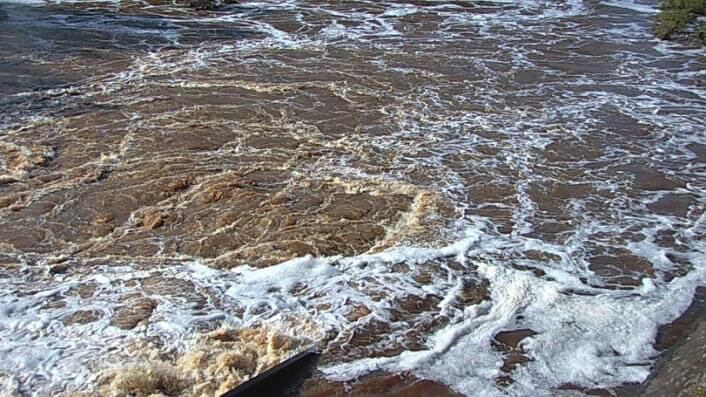
The platform played an important role in supporting Qteq's disaster management systems during the floods caused by Cyclone Tiffany across parts of Queensland.
Integrated cameras installed across the areas of Douglas Regional Council and Fraser Coast Regional Council picked up the early signs of rising water, alerting and supporting local authorities. The data feeds sent to the platform activated warning signs to restrict people from moving near flood-prone roads.
Transformation
What changed.
What the platform does for Qteq and the councils it serves:
- 01Live-streaming situational awareness cameras across council areas in NSW and Queensland
- 02In-field sensor data combined with Bureau of Meteorology data to predict roadway flooding
- 03Flood warning signs triggered automatically from water-level data, and authorities alerted early
More customer stories
All customers
Life Pharmacy Group
IoT cold chain management for pharmacy stock
Read the story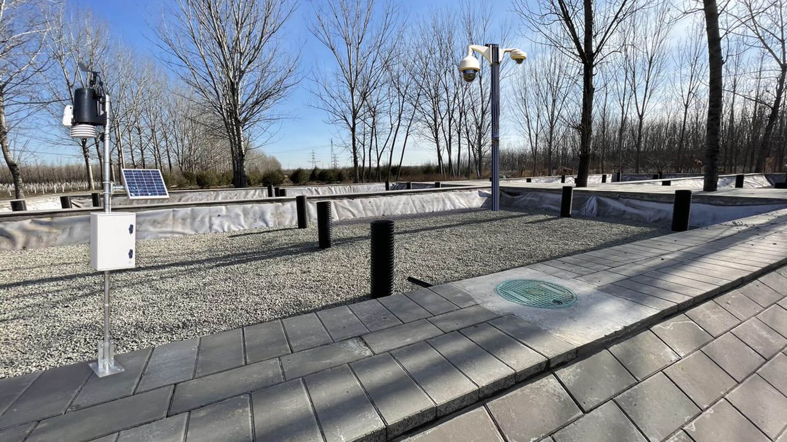
Anding Water Authority
Wetlands area monitoring and workflow management
Read the story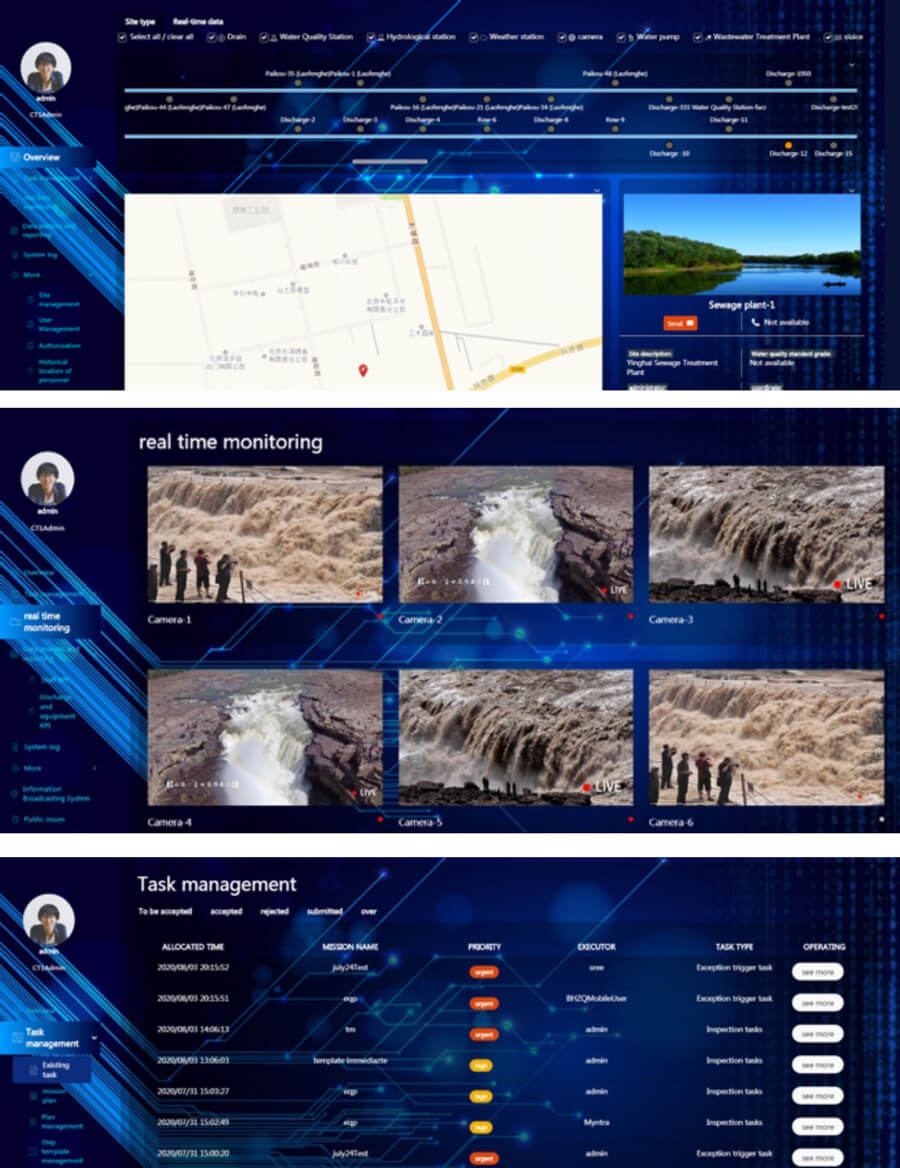
Xinfeng Water Authority
Real-time water outlet monitoring and workflow management
Read the storySimilar problem?
Let's talk about yours.
Tell us what you need to monitor or automate, and we will show you how we would approach it.